Blizzard Wanes, But Snow and Rain Continue; Next Storm Possible Next Week
By TheNevadaGlobeStaff, March 3, 2024 10:01 am
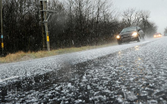
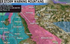
The powerful blizzard that hammered the Sierra Nevada and northwest Nevada is expected to ease today, but don’t put away the winter gear yet. Precipitation will continue through mid-week, with snow in higher elevations and rain in the valleys.
Here’s the Latest:
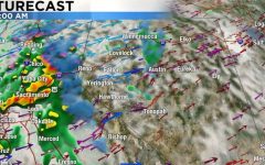
- Storm Timeline: Heavy snow showers will continue in the Lake Tahoe and Sierra regions throughout Sunday, tapering off by Wednesday. Reno-Sparks should see continued precipitation before the system clears out.
- Next Storm? Forecast models suggest another, weaker, storm system could reach the area the week of March 11th, but this outlook remains uncertain.
- Road Conditions:
- I-80 remains closed between the Nevada-California border and Colfax.
- Chains or snow tires are required on U.S. 395, portions of I-80 east of Sparks, US-95, and Kingsbury Grade. Check for updates before traveling.
- Power Update: NV Energy has restored electricity to most customers affected by outages. As of Sunday morning, only a small number of outages remain.
- Airport Impacts: Reno-Tahoe International Airport experienced delays and cancellations over the weekend. While some flights were rescheduled, several delays are expected on Sunday due to de-icing operations. Travelers should check with their airlines for the latest information.
Important Reminders
- Stay Informed: Conditions can change quickly. Check weather forecasts and road closure websites before heading out.
- Drive with Caution: If you must travel in the mountains, be prepared for winter driving conditions.
- Be Prepared: Even with the blizzard waning, lingering snow and potential power disruptions are possible.
Credits: Reno Gazette Journal
Copyright 2024 775 Times, NV Globe. All rights reserved
Latest posts by TheNevadaGlobeStaff (see all)


