The National Weather Service Has Released Its Winter Forecast
By TheNevadaGlobeStaff, December 14, 2022 9:44 am
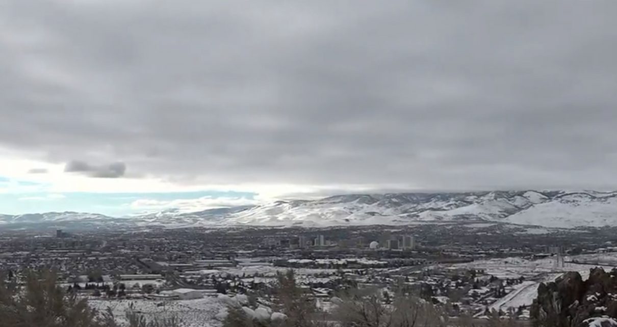
RENO, Nev. (775 Times, NV Globe) – We’ve seen a good quantity of snow fall in our valley and the Sierras this winter, but what does that indicate for the rest of the season?
According to the National Weather Service, anything can still happen and it is too early to know. They did mention that this is the third consecutive year of a weak La Nia, which refers to cooler-than-normal sea surface temperatures in the Pacific Ocean. However, this early snowfall is a positive omen. It is hoped that this year’s dry January will not be repeated.
Flooding might also be an issue. However, cold storms following a dry fall might help decrease the risk.
Tim Bardsley, Service Hydrologist at NWS Reno, discussed how this snow will affect the drought.
“We did start with these storms pretty cold. We had a pretty dry October, so we put the snow down on pretty dry soil. That means we’ll lose some efficiency when we do start melting that snow to fill that soil moisture zone underneath the snowpack,” Bardsley said.
NWS Meteorologist Amanda Young stated,
“It’s a good start. We are above average right now. We are kind of what we consider at the 90th percentile for the snowpack but we are only 10 days ahead of the curve in 10 days we can slide back into a 7 and 10 percentile.”
The NWS stated that our area requires a massive winter to break the three-year drought, or several near-average or slightly above-average years to gradually recover.
Click here for additional information about the weather and what to expect this season.
Credits: KoloTV
Copyright 2022 775 Times, NV Globe. All rights reserved.
- North Las Vegas Man Dies Following ATV Crash Near Apex - March 17, 2026
- Police Detail Graphic Allegations in Torture of Las Vegas Resort Bird - March 17, 2026
- Lamar Odom Pleads Not Guilty in Las Vegas DUI Case - March 17, 2026


