
Washoe County Launches New Public Safety Map for Enhanced Emergency Information
By TheNevadaGlobeStaff, May 23, 2023 10:06 am
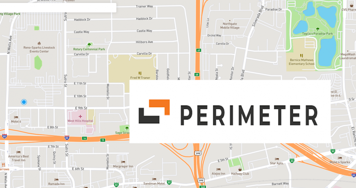
NEVADA – Washoe County is introducing a new public safety map called Perimeter, which aims to provide residents with crucial information during large-scale emergencies. The mapping software allows first responders to mark incident locations, define evacuation zones, and map road closures in real-time, enabling instant sharing with the public.
The initiative, announced on May 22 by Washoe County Emergency Management in collaboration with several local entities, including fire protection districts and tribal authorities, aims to enhance public safety and awareness. The map complements the existing alert notification system and offers more comprehensive and up-to-date information. When residents receive an alert, they can access the public map through a provided link to check if they are in an affected area.
The Perimeter map serves a vital role in assisting tourists and visitors who may be unfamiliar with local streets and neighborhoods, ensuring they are aware of any evacuation zones. The user-friendly tool benefits both the public and first responders involved in incident reporting.
Officials emphasize that the map will be actively updated during emergency events such as floods, wildfires, and earthquakes. Washoe County Emergency Management will promptly notify the public residing in or near evacuation zones when the Perimeter application is activated.
Originally developed in 2018 by programmers in Sonoma County, California, in response to widespread wildfires and subsequent flooding, Perimeter is now being piloted in Washoe County, Carson City, and Douglas County, marking its introduction to Nevada.
Residents can access the Washoe County Perimeter public map through a web browser without any sign-up or download required. The map is designed to be compatible with both desktop and mobile devices, ensuring accessibility for all users. In case of an emergency, the map will also be available through the designated link.
Stay informed and stay safe with Washoe County’s new public safety map, providing timely information during critical incidents.
Credits: MyNews4
Copyright 2022 775 Times, NV Globe. All rights reserved.

RELATED ARTICLES
-

-
December 28, 2022
-