Wet Weather and Strong Winds Continue the City Provides Sandbag Locations and Road Safety Tips
By TheNevadaGlobeStaff, December 27, 2022 11:25 am
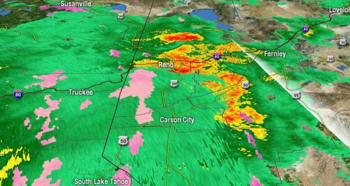
RENO, Nev. (775 Times, NV Globe) – Wind gusts of 50 to 60 mph are expected through Tuesday morning, with a strong wind warning in effect until 10 a.m.
Prepare your Christmas decorations for heavy rain in the highlands and valleys on Tuesday.
Minor flooding is likely in low-lying regions due to swiftly rising and flowing rivers and streams.
Snow levels are expected to fall Tuesday afternoon, with chain limits in effect across our mountain routes from Tuesday night through Wednesday morning.
For the Wednesday morning commute, a rain-snow mix will fall in our valleys, creating hazardous conditions.
The Nevada Department of Transportation recommends the following safety considerations while driving in the rain:
- Only travel in heavy rain when necessary, and always leave extra time to safely reach your destination
- When getting into the car during rainy conditions, wet shoes may slide from pedals. Dry soles of shoes on vehicle carpeting or rubber matting if possible
- Be aware and avoid flooded areas–never attempt to cross running or flooded water. Always buckle up
- Turn on headlights to see and be seen
- Defrost windows if necessary, both before and while driving
- Reduce speed. Speed limits are based on normal road and weather conditions, not rainy conditions
- By Nevada law, wipers must be on while driving in rain or snow
- Keep additional distance from other vehicles
- Watch carefully for other vehicles and pedestrians
- Turn off cruise control to reduce hydroplaning
- Brake earlier and with less force, and turn slower, than you would in normal driving conditions
- Do not slam on brakes. Apply steady pressure on ABS-equipped vehicles and pump the brakes if necessary on non-ABS vehicles
- If vehicle begins to skid, steer in direction of slide and slowly remove foot from accelerator
- Temporarily pull off the road to a safe location if you have difficulty seeing the roadway or other traffic
More storms are expected to pass over the region by Thursday into Friday, and again by the weekend.
Residents are urged to prepare for the storm ahead of time. Clear debris from drainages and ditches now to prepare for higher water flow. Secure outdoor furniture, temporary building structures, and canopies to prepare for high winds.
Sandbags
The City is supplying sandbags and sand at seven different locations:
- City of Reno Corporation Yard, outside the gate, at 1640 East Commercial Row. Open 24 hours
- Mira Loma Park, south end of the parking lot, at 3000 S. McCarran Blvd. Open 24 hours
- Jack Tighe Memorial Fields, in the parking lot, at 325 VFW Historic Lane. Open 24 hours
- Moya Boulevard near the intersection of Red Baron Boulevard. Open 24 hours.
- Reno Fire Station #5 (Mayberry Fire Station), located at 1500 Mayberry Drive, in the parking lot. Open 24 hours.
- Horseman’s Park, in the parking lot, at 2800 Pioneer Drive. Open 24 hours.
- Idlewild Park, in the parking lot of the James D. Hoff Peace Officer Memorial, at 2055 Idlewild Drive. Open 24 hours
Residents are responsible for filling their own bags and should bring their own shovels. Each place has empty bags and sand. Limited supplies of pre-filled bags for persons with disabilities will be available at the Corporation Yard, 1640 East Commercial Row, beginning Tuesday morning, December 27, at 7 a.m. While the goods are free, folks should only take what they need.
The City of Reno Utility Services staff will monitor the irrigation ditches and ensure that personnel are ready to remove debris as needed to maximize flow. The City is prepared to respond to local drainage issues and has traffic signs available for impacted routes.
Credits: 2News
Copyright 2022 775 Times, NV Globe. All rights reserved.

- Pedestrian Stumble Triggers Fatal Midnight Hit-and-Run on West Craig Road; Metro Hunting Dark SUV - July 13, 2026
- Trump Moves to Rebuild America’s Aviation Industry With New Aircraft Trade Order - July 13, 2026
- Intolerable Heat Wave Spikes Las Vegas past 111 Degrees as Heat Dome Enforces Major HeatRisk Protocols - July 11, 2026
RELATED ARTICLES
-
 December 22, 2022
 -
December 1, 2022
-
September 7, 2022